
[ Archive ]

|
ASPB and CIMSS Weekly Report
[ Archive ] |
|
IN THE PRESS:
ITEMS FOR THE ADMINISTRATOR:
ITEMS FOR THE ASSISTANT ADMINISTRATOR:
ITEMS FOR THE OFFICE DIRECTOR, STAR:
Additional Satellite Datasets to be Assimilated in NCEP Regional Model: Beginning
on March 25, several satellite datasets will be assimilated into the
National Centers for Environmental Prediction (NCEP) North American
Mesoscale Model (NAM). These datasets include the clear-sky, single
field-of-view Geostationary Operational Environmental Satellite (GOES)
Sounder radiances, the clear-sky, spectrally thinned, Atmospheric
InfraRed Sounder (AIRS) radiances, and the MODerate-resolution Imaging
Spectroradiometer (MODIS) polar winds. (J. Jung, CIMSS, 301-763-8204;
T. Schmit, E/RA2, 608-263-0291, tim.j.schmit@noaa.gov; J. Key, E/RA2,
608-263-2605, jkey@ssec.wisc.edu)
Presentation on Real-time Quality Calibration Data Flags: At the Geostationary Operational Environmental Satellite (GOES)-R Ground System Senior Science Staff meeting, a presentation was given on the need for real-time quality control flags. Several examples were shown from current geostationary instruments of when real-time, calibration-related quality flags would be helpful for users and product producers. The presentation is available upon request. (T. Schmit, E/RA2, 608-263-0291, tim.j.schmit@noaa.gov)
ITEMS FOR THE DIVISION CHIEF, CoRP:
CIMSS VISIT Activities: The Virtual Institute for Satellite Integration Training (VISIT) distance learning lesson "Moderate Resolution Imaging Spectroradiometer (MODIS) Products in Advanced Weather Information Processing System (AWIPS)" (http://cimss.ssec.wisc.edu/goes/visit/modis.html) was offered by staff from the Cooperative Institute for Meteorological Satellite Studies (CIMSS) on March 17, 2008. Forecasters from the National Weather Service (NWS) forecast office at Pendleton, Oregon participated in the VISIT lesson. (S. Bachmeier, CIMSS, 608-263-3958)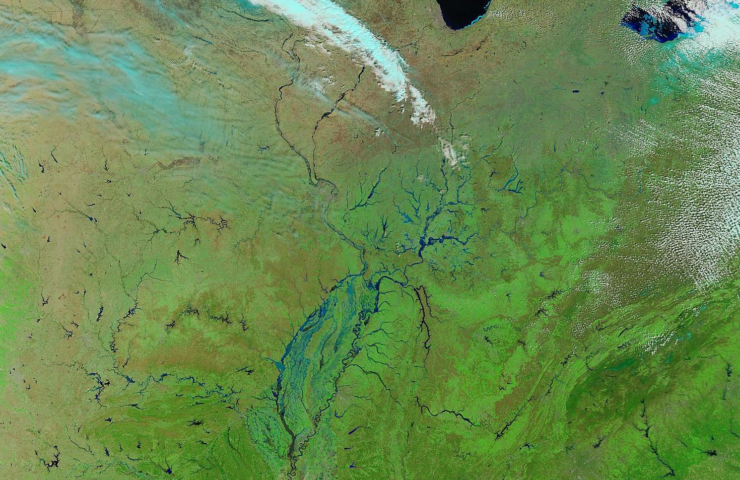 (Click image to enlarge)
Other Meetings and Telecons:
None.
VISITORS:
NEXT WEEK:
LOOKING AHEAD:
| Archived Weeklies Page | Submit a report item |