
[ Archive ]

|
ASPB and CIMSS Weekly Report
[ Archive ] |
|
IN THE PRESS:
ITEMS FOR THE ADMINISTRATOR:
ITEMS FOR THE ASSISTANT ADMINISTRATOR:
ITEMS FOR THE OFFICE DIRECTOR, STAR:
Latin American Data Workshop: Tom Whittaker, representing the Cooperative Institute for Meteorological Satellite Studies (CIMSS), made four presentations and conducted two workshops during the Latin American Data Workshop, held 21-23 August 2008 at the University of Sao Paulo in Sao Paulo, Brazil. This workshop was attended by more than 50 representatives from several Latin American countries as well as the United States. The presentations were: 1) an overview of data and research activities at CIMSS, 2) an introduction to McIDAS-V, 3) an overview of VISITview (VISIT is the Virtual Institute for Satellite Integration Training), and 4) examples of Educational Applets developed at CIMSS. The two hands-on workshops were for McIDAS-V and VISITview, and provided an opportunity for attendees to gain experience with these tools. (T. Whittaker, CIMSS, 608-262-2759)
GOES-13 Sounder Products Produced at CIMSS: Several Derived Products Images (DPI) based on data from the currently experimental Geostationary Operational Environmental Satellite (GOES)-13 Sounder are being produced at the Cooperative Institute for Meteorological Satellite Studies (CIMSS). The imagery consists of Total Precipitable Water (TPW), Lifted Index (LI) and Cloud Top Pressure (CTP). In general, the values from GOES-13 are qualitatively similar to those from GOES-12, although the cleaner signal of GOES-13 is evident. Near real-time images from GOES-13, as well as similar imagery from the operational GOES-11 and -12 Sounders, are being posted at: http://cimss.ssec.wisc.edu/goes/rt/sounder-dpi.php (T. Schmit, E/RA2, 608-263-0291,tim.j.schmit@noaa.gov, J. Nelson, CIMSS, 608-263-6013, T. Schreiner, CIMSS, 608-263-6754)
ITEMS FOR THE DIVISION CHIEF, CoRP:
CIMSS VISIT Activities: The Virtual Institute for Satellite Integration Training (VISIT) distance learning lessons "Mesoscale Convective Vorticies" ( http://rammb.cira.colostate.edu/visit/mcv.html ) and "Moderate Resolution Imaging Spectroradiometer (MODIS) Products in Advanced Weather Information Processing System (AWIPS)" ( http://cimss.ssec.wisc.edu/goes/visit/modis.html ) were led by staff from the Cooperative Institute for Meteorological Satellite Studies (CIMSS) on August 27 and 28, 2008. Forecasters from the National Weather Service offices in Chicago, Illinois, Glasgow, Montana, and the Spaceflight Meteorology Group in Houston, Texas participated in the VISIT lessons. In addition, several new examples of Geostationary Operational Environmental Satellite (GOES-13) imagery were added to the CIMSS Satellite Blog ( http://cimss.ssec.wisc.edu/goes/blog/archives/category/goes-13 ) to help evaluate the performance of GOES-13 during the most recent operational testing period. (S. Bachmeier, CIMSS, 608-263-3958, S. Lindstrom, CIMSS)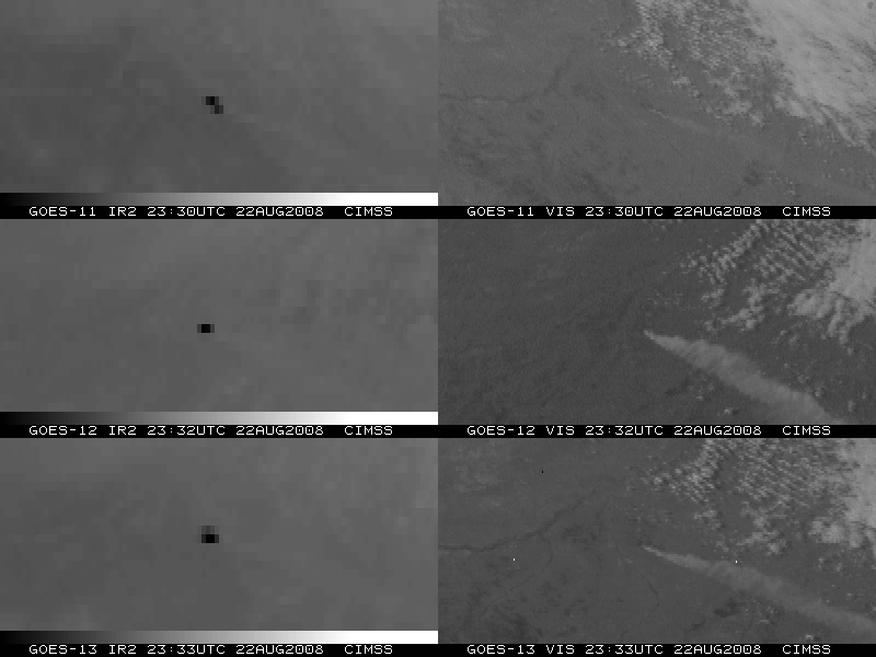 (Click image to enlarge)
Other Meetings and Telecons:
None.
VISITORS:
NEXT WEEK:
LOOKING AHEAD:
| Archived Weeklies Page | Submit a report item |