
[ Archive ]

|
ASPB and CIMSS Weekly Report
[ Archive ] |
|
IN THE PRESS:
WGN TV Visits CIMSS: Tom Skilling of WGN TV in Chicago, IL visited the Cooperative Institute for Meteorological Satellite Studies (CIMSS) with his production team on Friday, 26 March to discuss new technologies and applications of weather satellite data. Mr. Skilling was briefed by several CIMSS and ASPB scientists (Data Center - T. Achtor, McIDAS - J. Staude, Tropical Cyclones - C. Velden and T. Olander, Convective Initiation - J. Sieglaff, Moderate Resolution Imaging Spectroradiometer (MODIS) Lake Michigan products - J. Gerth and Geostationary Operational Environmental Satellite (GOES)-R - T. Schmit). Mr. Skilling also interviewed CIMSS Director Steve Ackerman on the role of cooperative institutes in research to operations. The interviews and filming are part of a series WSN is creating on improvements in weather forecasting. Mr. Skilling has also visited the NOAA Science Center and will visit the National Severe Storms Center as part of this series. (T. Achtor, CIMSS, 608-263-4206; T. Schmit, E/RA2, 608-263-0291).
ITEMS FOR THE ADMINISTRATOR:
ITEMS FOR THE ASSISTANT ADMINISTRATOR:
ITEMS FOR THE OFFICE DIRECTOR, STAR:
ITEMS FOR THE DIVISION CHIEF, CoRP:
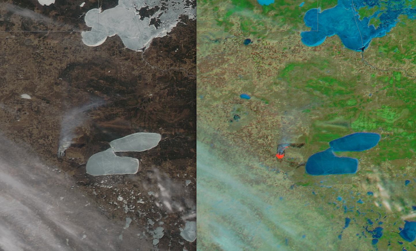 (Click image to enlarge)
Manuscript on Infrared Land Surface Emissivity Submitted: A manuscript entitled "An objective methodology for infrared land surface emissivity evaluation", has been submitted for publication in the Journal of Geophysical Research - Atmospheres. The paper describes the development of an algorithm for quantitatively evaluating infrared land surface emissivity from atmospheric infrared sounders and imagers. Co-authors are Zhenglong Li, Jun Li, Xin Jin, Eva Borbas (CIMSS), Timothy J. Schmit, and Mitch Goldberg (STAR). (Zhenglong Li, Zhenglong.Li@ssec.wisc.edu, 608-890-1982, and Jun Li, Jun.Li@ssec.wisc.edu, 608-262-3755)
VISITORS:
NEXT WEEK:
LOOKING AHEAD:
| Archived Weeklies Page | Submit a report item |