
[ Archive ]

|
ASPB and CIMSS Weekly Report
[ Archive ] |
|
IN THE PRESS:
ITEMS FOR THE ADMINISTRATOR:
ITEMS FOR THE ASSISTANT ADMINISTRATOR:
ITEMS FOR THE OFFICE DIRECTOR, STAR:
GOES-R Proving Ground All-Hands Meeting: Cooperative Institute for Meteorological Satellite Studies (CIMSS) and Advanced Satellite Products Branch (ASPB) scientists presented “Status & Plans for the Geostationary Operational Environmental Satellite GOES-R Proving Ground (PG)” at the annual GOES-R Proving Ground All-Hands Meeting, May 18-19, 2010 in Boulder, CO. The presentation covered many activities, focusing on the variety of products that CIMSS/ASPB are providing to the National Weather Service (NWS): near realtime simulated ABI images, overshooting-top/enhanced-V, GOES Imager Convective Initiation, Weather Event Simulator (WES), MODerate-resolution Imaging Spectroradiometer (MODIS) Imagery and products, and Advanced Very High Resolution Radiometer (AVHRR) Imagery and products. In addition, two hands-on laboratory exercises were led. One allowed participants to run the ABI WES on Advanced Weather Interactive Processing System (AWIPS); the other was a web-based GOES-R ABI Weighting Function (WF) exercise, where participants could experiment with how the temperature, moisture, skin temperature, view angle, might affect the brightness temperatures of the Advanced Baseline Imager (ABI) on GOES-R/S. T. Schmit (STAR) attended as a member of the PG executive board. Several others from CIMSS and ASPB attended via the phone. (W. Feltz, CIMSS, 608-265-6283; J. Gerth, CIMSS; T. Schmit, E/RA2, 608-263-0291, tim.j.schmit@noaa.gov)
ITEMS FOR THE DIVISION CHIEF, CoRP:
Manuscript on NWP Model Evaluation Accepted for Publication: A manuscript titled “Evaluation of Midlatitude Clouds in a Large-Scale High-Resolution Simulation using CloudSat Observations” was accepted for publication in the Journal of Geophysical Research. The paper by Tom Greenwald (Cooperative Institute for Meteorological Satellite Studies, CIMSS) and others used CloudSat observations to examine the vertical structure and radiative effects of midlatitude clouds in a large-scale cloud-resolving Weather Research and Forecasting (WRF) model simulation. (T. Greenwald, CIMSS, 608-263-3629)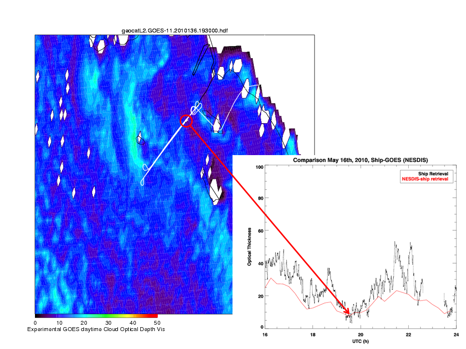 (Click image to enlarge)
VISITORS:
NEXT WEEK:
LOOKING AHEAD:
| Archived Weeklies Page | Submit a report item |