
[ Archive ]

|
ASPB and CIMSS Weekly Report
[ Archive ] |
|
IN THE PRESS:
ITEMS FOR THE ADMINISTRATOR:
ITEMS FOR THE ASSISTANT ADMINISTRATOR:
ITEMS FOR THE OFFICE DIRECTOR, STAR:
GEWEX Cloud Climatology Workshop: Andrew Heidinger attended the fourth Global Energy and Water Cycle Experiment (GEWEX) cloud climatology assessment workshop held in Berlin, Germany. Heidinger represented the NESDIS Pathfinder Atmospheres Extended (PATMOS-x) data set. PATMOS-x is constructed from over three decades of observations from NOAA's Advanced Very High Resolution Radiometer. The workshop report will be finalized early next year and all contributions of data are due later this summer. (A. Heidinger, E/RA2, 608-263-6757, Andrew.Heidinger@noaa.gov)
CIMSS Summer Workshop for High School Students: The Cooperative Institute for Meteorological Satellite Studies (CIMSS) held the 18th offering of its high school Workshop for Atmospheric, Earth, and Space Sciences on the University of Wisconsin-Madison campus, 20-24 June 2010. The workshop included field trips to a local television station (WKOW-TV), a private weather company (Weather Central), the nearby NOAA National Weather Service (NWS) forecast office in Sullivan, WI, the Baraboo Range for a geological tour, and Lake Mendota for a limnology dredging expedition. Twelve students participated this year, with three traveling from out of state. Numerous presentations were given on a variety of science topics, with an emphasis on weather and satellite remote sensing. NOAA Advanced Satellite Products Branch (ASPB) members provided significant contributions: R. Aune on using computers to forecast the weather, T. Schmit on the Geostationary Operational Environmental Satellite (GOES) program, and G. S. Wade on the Man computer Interactive Data Access System (McIDAS), with use of the latest version - McIDAS-V - for hands-on lab sessions. More information is available at http://cimss.ssec.wisc.edu/studentworkshop. (J. Gerth, CIMSS, 608-263-4942, jordang@ssec.wisc.edu; D. Pasowicz, CIMSS, 608-263-7435, daniel.pasowicz@ssec.wisc.edu; G.S. Wade, E/RA2, 608-263-4743, gary.s.wade@noaa.gov).
ITEMS FOR THE DIVISION CHIEF, CoRP:
GOES-R Imagery ATBD Submitted: The Geostationary Operational Environmental Satellite (GOES)-R Imagery Algorithm Theoretical Basis Document (ATBD) for the Advanced Baseline Imager (ABI) was submitted on-schedule to the GOES-R Algorithm Integration Team (AIT). This ATBD of the key GOES-R product parameter covers the theory for generating scaled radiances and converting them to reflectance factors, brightness temperatures and brightness values. Sample simulated ABI in the Fixed Grid Format (FGF) is also shown. (T. Schmit, E/RA2, 608-263-0291; M. Gunshor, CIMSS; K. Bah, CIMSS; T. Rink, CIMSS)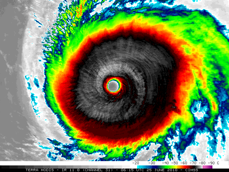 (Click image to enlarge)
VISITORS:
NEXT WEEK:
LOOKING AHEAD:
| Archived Weeklies Page | Submit a report item |