
[ Archive ]

|
ASPB and CIMSS Weekly Report
[ Archive ] |
|
IN THE PRESS:
CIMSS Animation of Hurricane Igor on ABC World News: ABC
World News with Diane Sawyer
(http://www.hulu.com/watch/177988/abc-world-news-with-diane-sawyer-tue-sep-14-2010#s-p1-so-i0),
and the Weather Channel
(http://www.weather.com/outlook/videos/tropical-update-6584#18250)
featured Cooperative Institute for Meteorological Satellite Studies
(CIMSS) Geostationary Operational Environmental Satellite (GOES)-15
animated imagery of Hurricane Igor on their 13 September 2010
broadcasts. The QuickTime movie used in the broadcasts was compiled by
Scott Bachmeier. (M. Hobson, SSEC)
ITEMS FOR THE ADMINISTRATOR:
ITEMS FOR THE ASSISTANT ADMINISTRATOR:
ITEMS FOR THE OFFICE DIRECTOR, STAR:
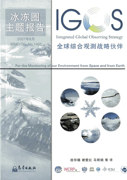
IGOS Cryosphere Theme Report Translated into Chinese: The
Integrated Global Observing Strategy (IGOS) Cryosphere Theme Report has
been translated into Chinese by Xiao Cunde of the Chinese
Meteorological Administration and his graduate students. The development
of the Cryosphere Theme was led by Jeff Key (NESDIS/STAR). The IGOS
Cryosphere Theme Report was published in late 2007. The Chinese
translation will be available at the Group on Earth Observations (GEO)
Beijing Ministerial Summit in November. (J. Key, E/RA2, 608-263-2605,
jkey@ssec.wisc.edu)
 (Click image to enlarge)
Figure caption: Cover of the Chinese version of the IGOS Cryosphere Theme Report, printed in 2010.
Visit to Swedish Meteorological Agency: A. Heidinger visited the Swedish Meteorological and Hydrological Institute (SMHI) in Norrkoeping, Sweden. He gave a seminar on the current state of cloud remote sensing at NOAA using the GOES-R Advanced Baseline Imager. He also visited with scientists and forecasters involved in the EUropean organization for the exploitation of METeorological SATellites (EUMETSAT) Now-casting and Climate Satellite Application Facilities. (A. Heidinger, E/RA2, 608-263-6757, andrew.heidinger@noaa.gov)
First NOAA Air Quality Proving Ground Meeting: Brad Pierce gave a presentation entitled “Development of Proxy ABI Data for the AQPG” at the first NOAA Air Quality Proving Ground (AQPG) Advisory Group Workshop, held on September 14, 2010 at the University of Maryland Baltimore County (UMBC) campus outside of Baltimore, MD. During the workshop, the AQPG Advisory Group worked with AQPG personnel during air quality forecasting case studies, based on GOES-R Advanced Baseline Imager (ABI) proxy data, to understand how high spatial and temporal resolution aerosol optical depth (AOD) measurements could be used to improve forecasts of fine particulate matter (PM2.5). The AQPG advisory group provided feedback to the ABI algorithm developers as to the utility of the AOD product and best means for data distribution. (R.B. Pierce, E/RA2, 608-890-1892, brad.pierce@noaa.gov)
CIMSS Scientists in Tri-agency Hurricane Research Project: A
major collaborative tri-agency (NOAA/NASA/NSF) hurricane field project
is underway, designed to study the genesis and rapid intensification of
tropical cyclones in the Atlantic. Scientists from the Cooperative
Institute for Meteorological Satellite Studies (CIMSS) are participating
directly in the real-time mission planning/coordination, forecasting,
nowcasting, and data analysis. A team from CIMSS returned this week from
the operations center in St Croix, the location for the NSF-sponsored
PREDICT (PRE-Depression Investigation of Cloud systems in the Tropics)
experiment. CIMSS is bringing satellite expertise and support to the
tri-agency project, including hurricane diagnostic algorithms based on
polar and geostationary satellites. The project includes special
multiple research aircraft missions augmenting the satellite data, with
the latest ventures into Hurricane Karl. NESDIS is providing support
through GOES-East, and special rapid-scan datasets being provided as
part of the GOES-15 science checkout. The multi-platform observations
from this summer's hurricane project will be used in research analysis
for years to come. The project ends on October 1. (C. Velden, CIMSS,
608-262-9168; D. Herndon, CIMSS, D. Stettner, CIMSS, J. Sears, CIMSS, S.
Monette, CIMSS)
ITEMS FOR THE DIVISION CHIEF, CoRP:
CIMSS Tropical Cyclone Products Highlighted During Igor: Several Cooperative Institute for Meteorological Satellite Studies (CIMSS) tropical cyclone (TC) intensity estimation products were used and highlighted by forecasters at the National Hurricane Center (NHC) in Miami, FL in their discussions during Hurricane Igor. These products, including the Advanced Dvorak Technique (ADT), the Satellite Consensus (SATCON) algorithm, and other experimental CIMSS routines are regularly utilized by the NHC forecasters to aid in determining the current TC intensity and structure. Forecasters at NHC specifically highlighted these products in their discussions as the basis for their reasoning regarding the current intensity and its changes, especially during the rapid intensification period when Igor strengthened quickly to a major hurricane. (T. Olander, CIMSS, 608-265-8005)
GOES-R Land Surface Emissivity Test Readiness Review: The Geostationary Operational Environmental Satellite (GOES-R) Test Readiness Review (TRR) for the Land Surface Emissivity was held on September 15, 2010. The TRR material, compiled jointly with the Algorithm Integration Team, was presented to the GOES-R Program Office. The focus of the presentation was on test results, validation, and product generation. This product is in the ‘option 2’ set. (T. Schmit, E/RA2, 608-263-0291; Walter Wolf, (301) 316-5003)
GOES-R Imagery ATBD Submitted to the AIT: The Geostationary Operational Environmental Satellite (GOES)-R Imagery Algorithm Theoretical Basis Document (ATBD) for the Advanced Baseline Imager (ABI) was submitted on-schedule to the GOES-R Algorithm Integration Team (AIT). This ATBD of the key GOES-R product parameter covers the theory for generating scaled radiances and converting them to reflectance factors, brightness temperatures and brightness values. (T. Schmit, E/RA2, 608-263-0291)
CIMSS Satellite Blog Updates: During the week of September 11-17 2010, a number of posts were added to the Cooperative Institute for Meteorological Satellite Studies (CIMSS) Satellite Blog which highlighted images of Hurricane Igor - in particular, Geostationary Operational Environmental Satellite (GOES-15) 1-minute interval Super Rapid Scan Operations (SRSO) visible images of the hurricane at Category 4 intensity (http://cimss.ssec.wisc.edu/goes/blog/archives/6790). These GOES-15 SRSO visible images were shown on the ABC World News segment which aired on September 14, and the images also appeared on The Weather Channel. (S. Bachmeier, CIMSS, 608--263-3958)
VISITORS:
NEXT WEEK:
LOOKING AHEAD:
| Archived Weeklies Page | Submit a report item |