
[ Archive ]

|
ASPB and CIMSS Weekly Report
[ Archive ] |
|
IN THE PRESS:
ITEMS FOR THE ADMINISTRATOR:
ITEMS FOR THE ASSISTANT ADMINISTRATOR:
ITEMS FOR THE OFFICE DIRECTOR, STAR:
GOES-R AVIATION/NOWCASTING APPLICATIONS SEMINAR at ENVIRONMENT CANADA: A
seminar titled "GOES-R Overview of Aviation and Nowcasting
Applications: Current Status and a Look into Future" was given by Wayne
Feltz (Cooperative Institute for Meteorological Satellite Studies) April
28-29 at Environment Canada's headquarters in Toronto (hosted by Ismail
Gultepe) and at the Canadian Meteorological Centre in Montreal (hosted
by Louis Garand). The presentation covered new research developments
regarding the use of infrared radiances to provide information on
detection of turbulence, convective initiation, convective overshooting,
volcanic ash, and low cloud/fog. The seminars were very well attended
and provided additional justification for Canada to continue pursuing
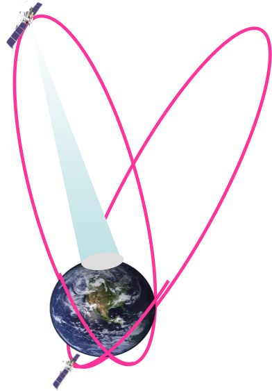
the new Polar Communication and Weather (PCW) satellite mission, a
highly elliptical orbit that would provide "pseudo-geostationary"
coverage of the Arctic. (W. Feltz, CIMSS, 608-265-6283)
 (Click image to enlarge)
Figure caption:The highly elliptical orbit that will be used by the PCW mission.
ITEMS FOR THE DIVISION CHIEF, CoRP:
Chicago SOS Conference: Cooperative Institute for Meteorological Satellite Studies (CIMSS) Data Interpretation Specialist, Patrick Rowley, presented at the NOAA Science on a Sphere (SOS) conference in Chicago this week, highlighting progress on a CIMSS project to produce real-time weather and climate data and SOS docent support via a blog. Rowley was later joined by Margaret Mooney from CIMSS and Dan Pisut from NOAA in a break-out session collecting users feedback to advise the project moving forward. (M. Mooney, CIMSS, 608-265-2123, P. Rowley, CIMSS, 608-263-1336)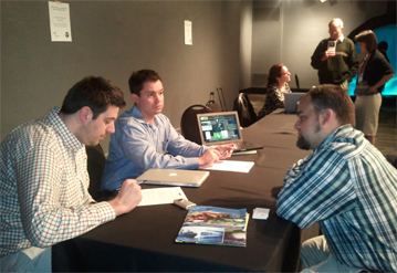 (Click image to enlarge)
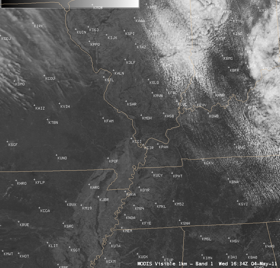 (Click image to enlarge)
Material for the Updated COMET GOES Channel Selection Module: T.
Schmit, S. Bachmeier, and M. Gunshor provided material that was
incorporated into the recently updated Cooperative Program for
Operational Meteorology, Education and Training (COMET) module on
"Geostationary Operational Environmental Satellites (GOES) Channel
Selection". P. Dills (COMET) was the project lead. This module covers
the spectral (and other) changes on the GOES-13, -14 and -15 Imagers,
along with examples of the many uses of each GOES channel. Historically,
this module has been the most popular COMET module. After registering,
the COMET distance learning module can be found at http://www.meted.ucar.edu/satmet/goeschan/. (T. Schmit, E/RA2, 608-263-0291, tim.j.schmit@noaa.gov)
VISITORS:
NEXT WEEK:
LOOKING AHEAD:
| Archived Weeklies Page | Submit a report item |