
[ Archive ]

|
ASPB and CIMSS Weekly Report
[ Archive ] |
|
IN THE PRESS:
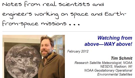
GOES-R Highlighted as Part of a NASA Outreach Effort: As
part of a NASA outreach effort, T. Schmit and Geostationary Operational
Environmental Satellite (GOES)/GOES-R were highlighted. The page is: http://spaceplace.nasa.gov/mission-chronicles/en/#schmit. The entry is called: Watching from above—WAY above! (T. Schmit, E/RA2, Timothy.J.Schmit@noaa.gov)
 (Click image to enlarge)
Figure caption: Top section of the NASA Mission Chronicles web page.
ITEMS FOR THE ADMINISTRATOR:
ITEMS FOR THE ASSISTANT ADMINISTRATOR:
ITEMS FOR THE OFFICE DIRECTOR, STAR:
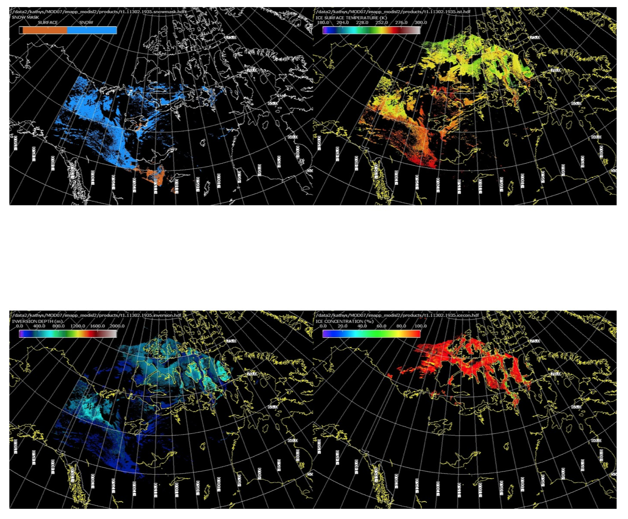
Polar Products Software Released as Part of Aqua and Terra Direct Broadcast Software Package: The
University of Wisconsin-Madison cryosphere team, submitted software
that will create 1 km products in polar regions from direct downlinked
MODerate Resolution Imaging Spectroradiometer (MODIS) input data. The
software was incorporated into the International MODIS/AIRS Processing
Package (IMAPP) MODIS Level2 package and released on 15 February 2012 (http://cimss.ssec.wisc.edu/imapp/modis_level2_v2.2.shtml).
IMAPP has a registered user base of more than 1300 people from 67
different countries. The polar product software suite includes Snow
Mask, Ice Surface Temperature and Surrounding Waters, Ice Cover and Ice
Concentration, Inversion Strength, and Inversion Depth.
(K. Strabala, CIMSS, 608-263-8752; J. Key, E/RA2, 608-263-2605,
jkey@ssec.wisc.edu; Y. Liu, CIMSS, 608-265-8620)
 (Click image to enlarge)
Figure caption: Example images of the IMAPP Snow Mask (Upper Left), Ice
Surface Temperature (Upper Right), Inversion Depth (Lower Left) and Ice
Concentration (Lower Right) Products for the 1935 UTC Terra MODIS test
data set from 29 October 2011.
ITEMS FOR THE DIVISION CHIEF, CoRP:
GOES-13 Imager Stray Light Correction (SLC) Test: On 15-16 February 2012, a Geostationary Operational Environmental Satellite (GOES) Imager Stray Light Correction (SLC) test was performed by the Office of Satellite and Product Operations (OSPO). This test sent corrected data via the GOES-13 GOES Variable (GVAR) datastream. Scientists at NOAA/NESDIS and the Cooperative Institute for Meteorological Satellite Studies (CIMSS) monitored the images during the test. The bottom line is that the correction was as expected and bits describing which lines were affected were filed into the line prefix. Once the correction is operationally implemented by NOAA/NESDIS, more imagery will be available via GVAR. (J. Nelson, CIMSS, 608-263-6013, jim.nelson@ssec.wisc.edu; A. J. Schreiner, CIMSS, 608-263-6754, tony.schreiner@ssec.wisc.edu; T. J. Schmit, E/RA2, 608-263-0291, tim.j.schmit@noaa.gov)VISITORS:
NEXT WEEK:
LOOKING AHEAD:
| Archived Weeklies Page | Submit a report item |