
[ Archive ]

|
ASPB and CIMSS Weekly Report
[ Archive ] |
|
IN THE PRESS:
ITEMS FOR THE ADMINISTRATOR:
ITEMS FOR THE ASSISTANT ADMINISTRATOR:
ITEMS FOR THE OFFICE DIRECTOR, STAR:
Conclusion of Successful GOES-14 1-min Imagery Test: The end of the Geostationary Operational Environmental Satellite (GOES)-14 imager Super Rapid Scan Operations for GOES-R (SRSOR) was reached on August 28. 2013. This concluded the data gathering phase of SROSR 2013 where the GOES-14 acquired 1-minute imagery. In fact, there was no gap due to full disk scans with the recent schedule. While the main objective of observing a land-falling hurricane with the experimental SRSOR data and the Global Hawk was not met, many unique datasets were acquired. This included convection, fires, smoke, fog, etc. These data were demonstrated at a number of national centers and will help to better prepare for the meso-scale images from the Advanced Baseline Imager (ABI). More information, images and loops are available at http://cimss.ssec.wisc.edu/goes/srsor2013/GOES-14_SRSOR.html and http://cimss.ssec.wisc.edu/goes/blog/archives/category/goes-14. GOES-14 has returned to normal mode configuration with the instruments off. (T. Schmit, E/RA2, 608-263-0291, tim.j.schmit@noaa.gov; S. Bachmeier, CIMSS, 608-263-3958; S. Lindstrom, CIMSS; J. Robaidek, SSEC, 608-262-6025, jerrold.robaidek@ssec.wisc.edu)
Arctic Composite Satellite Imagery Critical Design Review: A
critical design review (CDR) for the Arctic Composite Imagery project
of the Product System Development and Implementation (PSDI) program was
held 28 August 2013. Personnel from the University of Wisconsin, STAR,
OSPO, OSD, the Ocean Prediction Center, and the National Ice Center
participated. The product is scheduled to become operational in March
2014. (M. Lazzara, SSEC; J. Key, E/RA2, 608-263-2605,
jkey@ssec.wisc.edu)
GSIP Cloud Product CDR: A Critical Design
Review (CDR) was held to present the update of the cloud algorithms in
the GOES Surface and Insolation Project (GSIP). GSIP is the twin of the
Clouds from AVHRR Extended (CLAVR-x) system running in NESDIS on the
Advanced Very High Resolution Radiometer (AVHRR). In addition to the
imager data from the Geostationary Operational Environmental Satellite
(GOES), GSIP processes data from the Japanese and European geostationary
imagers. The cloud algorithms in GSIP and CLAVR-x are now the same and
are identical to those delivered to the STAR Algorithm Implementation
Team (AIT) for implementation on the Visible Infrared Imaging Radiometer
Suite (VIIRS) in the AIT Framework. (A. Heidinger, E/RA2, 608-263-6757,
andrew.heidinger@noaa.gov, William Straka III, CIMSS,
wstraka@ssec.wisc.edu).
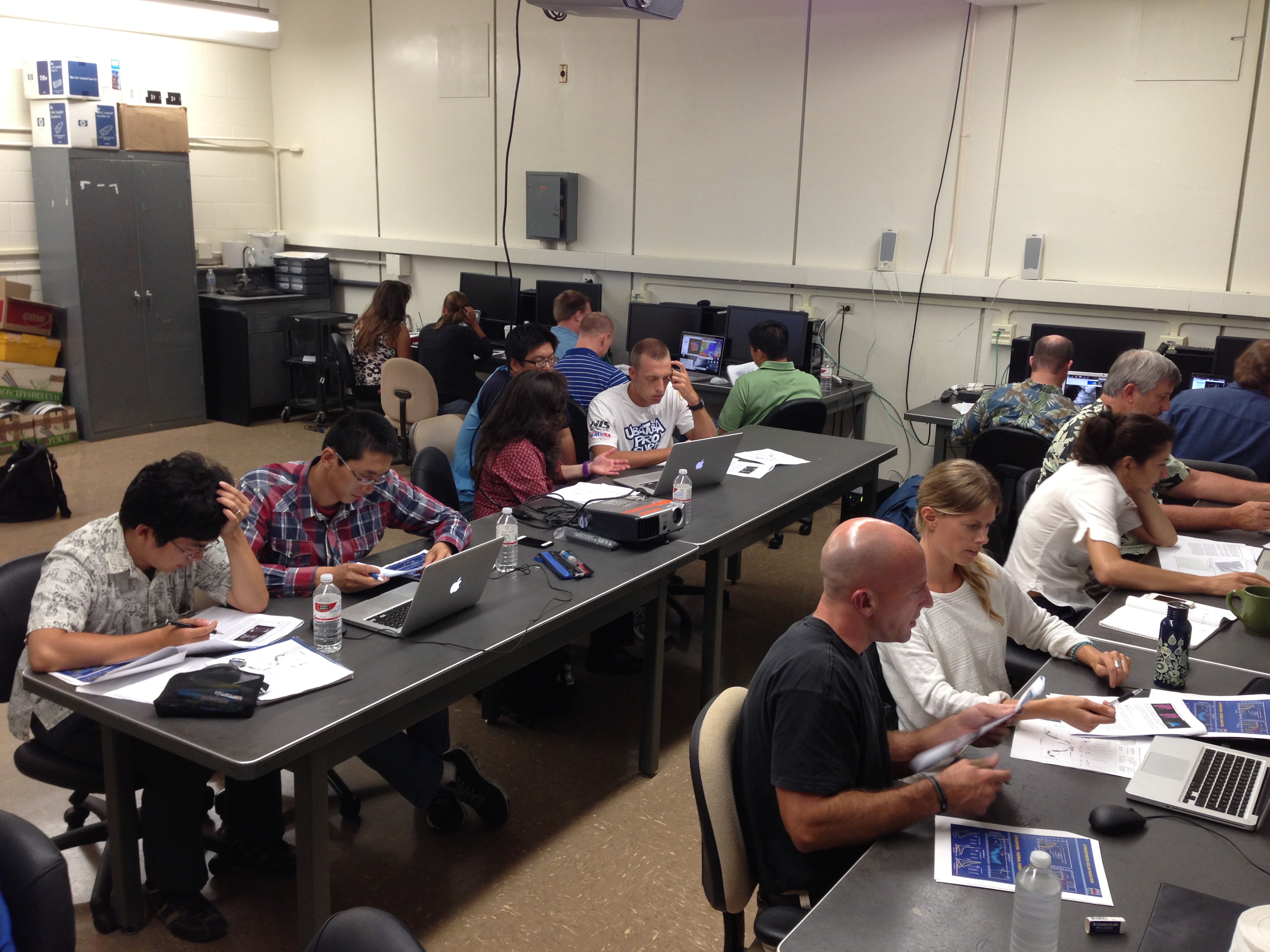
VIIRS/MODIS Workshop at NWS Forecast Office Honolulu HI: In
support of a NOAA grant to install an X/L-band antenna system for the
National Weather Service (NWS) in Honolulu HI, Cooperative Institute for
Meteorological Satellite Studies (CIMSS) and Space Science and
Engineering Center (SSEC) personnel gave a workshop on Visible Infrared
Imager Radiometer Suite (VIIRS) and Moderate Resolution Imaging
Spectroradiometer (MODIS) sensors, products, and applications at the NWS
/ University of Hawaii Manoa campus from August 20-23, 2013. Topics
included the characteristics of the VIIRS and MODIS sensors; the
products available from VIIRS and MODIS; the algorithms used to derive
atmosphere, ocean, and land products from VIIRS and MODIS, and real-time
applications of the products. The afternoons were taken up with
laboratory sessions where students explored VIIRS and MODIS products
using the Hydra2 software developed at CIMSS/SSEC. Twenty-one students
from the National Weather Service, Joint Typhoon Warning Center, and
University of Hawaii were in attendance. On Friday morning the students
gave team presentations on case studies they investigated using VIIRS
and/or MODIS data. (L. Gumley, CIMSS/SSEC 608-265-5358, K. Strabala,
CIMSS/SSEC, 608-263-8752, J. Gerth, CIMSS, 608-263-4942, T. Rink, CIMSS,
608-265-2342).
 (Click image to enlarge)
Figure caption: Students at the workshop examine VIIRS and MODIS data in Hydra2.
ITEMS FOR THE DIVISION CHIEF, CoRP:
GRAFIIR Addresses Co-registration Issue on ABI : The Geostationary Operational Environmental Satellite (GOES)-R Algorithm Working Group (AWG) GOES-R Analysis Facility for Instrument Impacts on Requirements (GRAFIIR) team responded to a GOES-R Program request concerning potential band-to-band co-registration issues on the Advanced Baseline Imager (ABI). The GRAFIIR team, located at the Cooperative Institute for Meteorological Satellite Studies (CIMSS) simulated co-registration errors in all 16 ABI bands that varied from 8 microradians to 12 microradians to represent specification-compliant and non-compliant cases. These data were used to generate and assess the impact of the co-registration errors on a number of Level-2 cloud products (clear sky mask, cloud top temperature, cloud top pressure, cloud phase). In addition, impacts were assessed on the split-window (11-12micrometer) difference. A Powerpoint report detailing the band to band co-registration error effects on products was presented to the Product Working Group (PWG) at their weekly meeting on 27 August 2013 with a general recommendation that while co-registration has a negative impact on products, the likely effects of this particular error should not result in Level-2 products being unable to meet their specifications. (M. Gunshor, CIMSS, 608-263-1146, H. Zhang, CIMSS, 608-263-2348, T. Schmit, E/RA2, 608-263-0291, tim.j.schmit@noaa.gov, J. Daniels, Jaime.Daniels@noaa.gov).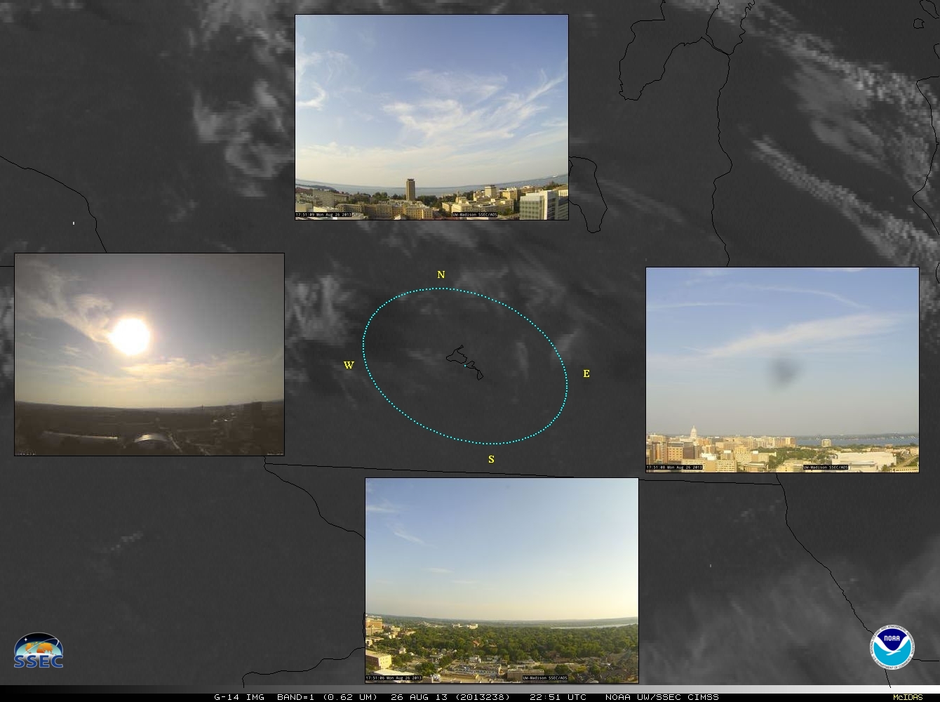 (Click image to enlarge)
VIIRS Ice Surface Temperature Provisional Maturity Review: The Joint Polar Satellite System (JPSS) Cryosphere Team briefed the Algorithm Engineering Review Board (AERB) on the "provisional" maturity status of Visible Infrared Imager Radiometer Suite (VIIRS) Ice Surface Temperature (IST) environmental data record (EDR) on 22 August 2013. The Team gave a summary of the extensive validation work has been done to assess the quality of the IST product. (J. Key, E/RA2, 608-263-2605, jkey@ssec.wisc.edu)
VISITORS:
NEXT WEEK:
LOOKING AHEAD:
| Archived Weeklies Page | Submit a report item |