
[ Archive ]

|
ASPB and CIMSS Weekly Report
[ Archive ] |
|
IN THE PRESS:
ITEMS FOR THE ADMINISTRATOR:
ITEMS FOR THE ASSISTANT ADMINISTRATOR:
ITEMS FOR THE OFFICE DIRECTOR, STAR:
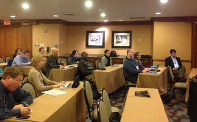
Data Visualization Session at the ESIP Winter Meeting (January 8th-10th): Margaret Mooney from the Cooperative Institute for Meteorological Satellite Studies (CIMSS) organized and presented at a session on “Data Visualizations Tools for Climate Change Education and Decision Support” at the recent gathering of the Earth Science Information Partners (ESIP) in Washington DC. Presenters included Dan Pisut from NOAA’s Visualization Lab demonstrating NOAAView, Frank Niepold from NOAA’s Climate Program Office presenting Data Snapshots and TerraViz, Matt Cechini from NASA presenting on the Global Imagery Browse Server (GIBS) and Ryan Boller from NASA demonstrating Worldview. Mooney presented the CIMSS Climate Digest product (http://sphere.ssec.wisc.edu/). Joining Mooney at the ESIP conference was Kyle Nelson, a University of Wisconsin graduate student studying under CIMSS Director Steve Ackerman and conducting research under ASPB Branch Chief Jeff Key. Nelson competitively earned a 2014 ESIP student fellowship, becoming the 5th consecutive student from UW-Madison to serve as an ESIP graduate fellow. As a unique consortium of over 150 organizations that collect, interpret and develop applications for remotely sensed Earth science data, ESIP gatherings are excellent venues to advance ideas, cross-agency collaborations, emerging tools and burgeoning careers. (M. Mooney, CIMSS/SSEC, 608-265-2123)
 (Click image to enlarge)
Figure caption: Attendees at the Data Visualization Session.
Manuscript Examining the Forecast Impact of Assimilating Satellite and Radar Data Published: A manuscript entitled “Forecast evaluation of an Observing System Simulation Experiment assimilating both radar and satellite data” was published in the January issue ofMonthly Weather Review. J. Otkin was a co-author. The paper showed that the largest forecast impact on the cloud field was achieved when both satellite and radar observations were assimilated since these observation types are sensitive to different portions of the cloud field. (J. Otkin, CIMSS, 608-265-2476)
Manuscript Examining the Accuracy of WRF Model Parameterization Schemes Published: A manuscript entitled “Evaluating the accuracy of planetary boundary layer and cloud microphysical parameterization schemes in a convection-permitting ensemble using synthetic GOES-13 satellite observations” was published in the January issue of Monthly Weather Review. The ability of several WRF cloud microphysics and planetary boundary layer parameterization schemes to produce an accurate representation of the 3D cloud distribution was assessed through a comparison of simulated and observed GOES brightness temperature observations using data from the 2012 NOAA Hazardous Weather Testbed Spring Experiment. The lead author of the study was R. Cintineo and J. Otkin was a co-author. (J. Otkin, CIMSS, 608-265-2476)
ITEMS FOR THE DIVISION CHIEF, CoRP:
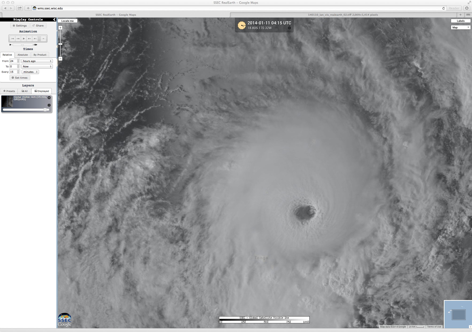
CIMSS VISIT Activities: S. Lindstrom and S. Bachmeier participated in two Virtual Institute for Satellite Integration Training (VISIT) Satellite Chat session on January 15, 2014 (http://rammb.cira.colostate.edu/training/visit/satellite_chat/). In addition, the Cooperative Institute for Meteorological Satellite Studies (CIMSS) Satellite Blog (http://cimss.ssec.wisc.edu/goes/blog/) was updated with posts on "Severe turbulence over the Eastern US", "Bushfires burning in Australia", and "Cyclone Ian in the South Pacific Ocean". (S. Lindstrom, CIMSS, S. Bachmeier, CIMSS, 608-263-3958)
 (Click image to enlarge)
VISITORS:
NEXT WEEK:
LOOKING AHEAD:
| Archived Weeklies Page | Submit a report item |