
[ Archive ]

|
ASPB and CIMSS Weekly Report
[ Archive ] |
|
IN THE PRESS:
ITEMS FOR THE ADMINISTRATOR:
ITEMS FOR THE ASSISTANT ADMINISTRATOR:
ITEMS FOR THE OFFICE DIRECTOR, STAR:
Paper Published on the Influence of Arctic Winter Clouds on Summer Sea Ice: A paper on the influence of winter clouds on summer sea ice in the Arctic during 2013 was published in Environmental Research Letters (Y. Liu and J. Key, 2014, Less Winter Cloud Aids Summer 2013 Arctic Sea Ice Return from 2012 Minimum, Environ. Res. Lett. 9 044002). In September 2012, Arctic sea ice cover reached a record minimum for the satellite era. The following winter the sea ice quickly returned, carrying through to the summer when ice extent was 48% greater than the same time in 2012. This paper demonstrates that below average cloud cover in January-February 2013 resulted in a more strongly negative surface radiation budget, cooling the surface and allowing for greater ice growth, which carried over to the summer. (Y. Liu, CIMSS, 608-265-8620; J. Key, E/RA2, 608-263-2605, jkey@ssec.wisc.edu)
CIMSS Participation in 2014 European Convective Working Group Meeting: The 4th European Convective Working Group meeting sponsored by EUMETSAT was held in Zagreb, Croatia from April 7-11, 2014. Over 45 meteorologists and satellite-based convective weather scientists gathered to discuss European-centric thunderstorm forecast issues and specifically the role of meteorological satellite data in understanding and forecasting these storms. Wayne Feltz and Ralph Petersen (Cooperative Institute for Meteorological Satellite Studies, CIMSS) overviewed subject matter related to convective nearcasting, the role of satellite decision support in pre-convective storm nowcasting, and a new probabilistic methodology for determining the likelihood of particular thunderstorm cells becoming severe in the next 60 minutes. Other representatives from the United States included Steve Goodman (NOAA), Kristopher Bedka (SSAI LaRC), Pao Wang (University of Wisconsin-Madison), and John Mecikalski (University of Alabama - Huntsville). (W. Feltz, CIMSS, 608-265-6283 and R. Petersen, CIMSS) 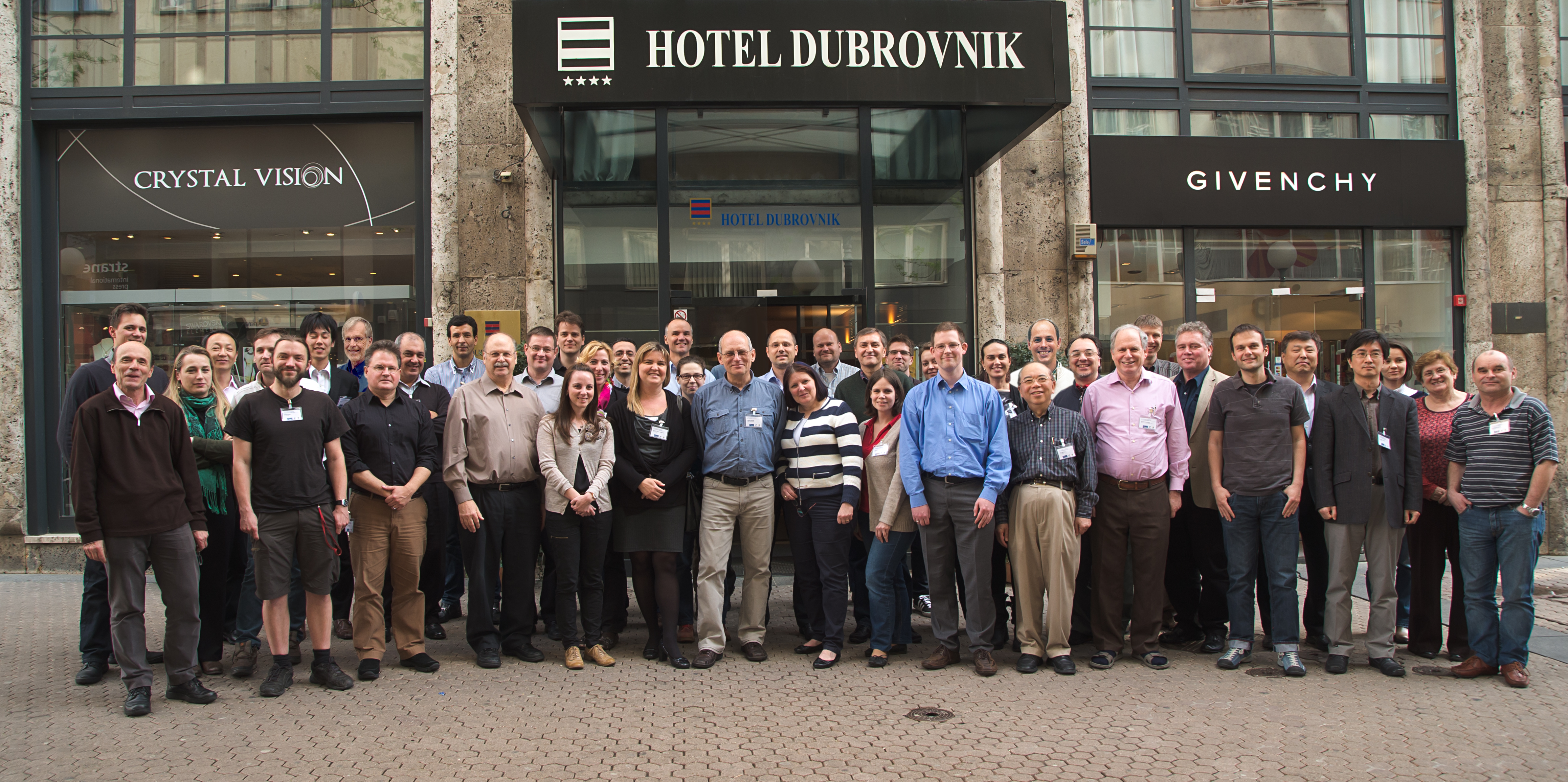 (Click image to enlarge)
Figure caption: The 4th European Convective Working Group, Zagreb, Croatia, April 7-11, 2014
NWS Western Region Air Quality Forecasting Lecture: Brad Pierce gave a lecture via GoToWebinar entitled “Advances in Real-time Assimilation of Satellite Trace Gas and Aerosol Retrievals for Air Quality Forecasting” to over twenty National Weather Service (NWS) Western Region Science Operations Officer (SOO) and Development and Operations Hydrologist (DOH) staff on the bi-weekly NWS Western Region SOO/DOH call. The lecture focused on advances in real-time trace gas and aerosol assimilation within the Real-time Air Quality Modeling System (RAQMS) and real-time nested global/regional air quality forecasting that is being done in collaboration with researchers at the NWS and Earth System Research Laboratory (ESRL) (R.B. Pierce, E/RA2, 608-890-1892, brad.pierce@noaa.gov)
ITEMS FOR THE DIVISION CHIEF, CoRP:
Lecture Given as part of the UW AOS Senior Capstone series: T. Schmit gave a lecture on April 7, as part of the University of Wisconsin-Madison Atmospheric and Oceanic Sciences (AOS) senior capstone series. The title of the presentation was “The History and Evolution of the “Geostationary Operational Environmental Satellite (GOES)-R Advanced Baseline Imager (ABI)”. The presentation has been posted at ftp://ftp.ssec.wisc.edu/ABI/AOS405/AOS_405_Schmit_April_2014.pptx. (T. Schmit, E/RA2, 608-263-0291, tim.j.schmit@noaa.gov)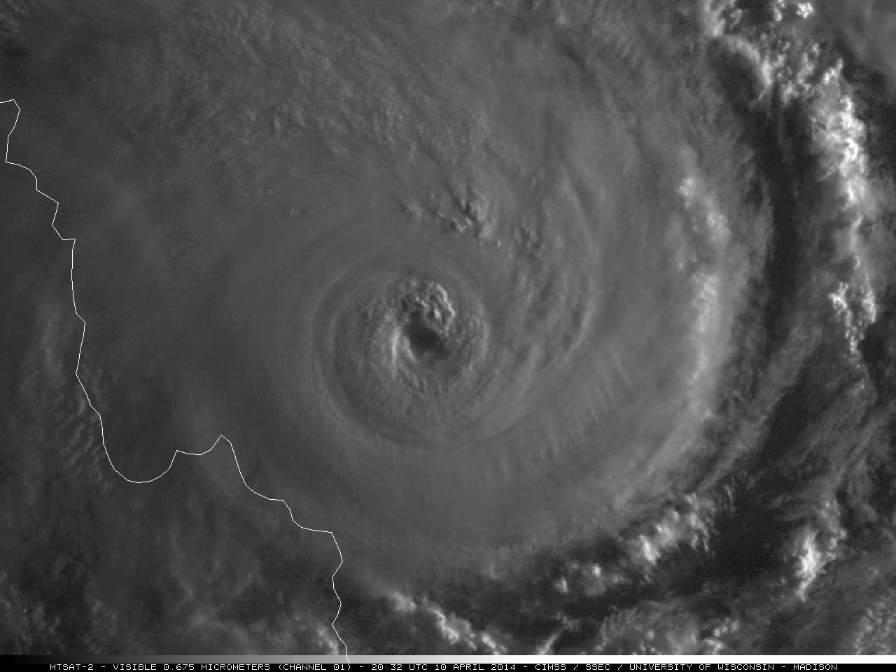 (Click image to enlarge)
VISITORS:
JMA Visitor: Mr. Kouki Mouri from the Japanese Meteorological Agency (JMA) Meteorological Satellite Center (MSC) visited the Advanced Satellite Products Branch (ASPB) and the Cooperative Institute for Meteorological Satellite Studies (CIMSS). Mr. Mouri is developing the cloud product algorithms for the next generation of Japanese geostationary meteorological satellites. Mr. Mouri gave a seminar on the status of the JMA cloud algorithm development. The JMA algorithms employ aspects of the GOES-R Algorithm Working Group (AWG). Mr. Mouri met with many CIMSS scientists and significant progress was made on the cloud algorithm collaboration between CIMSS, NESDIS and JMA. (A. Heidinger, E/RA2, 608-263-6757, andrew.heidinger@noaa.gov)
NEXT WEEK:
LOOKING AHEAD:
| Archived Weeklies Page | Submit a report item |