
[ Archive ]

|
ASPB and CIMSS Weekly Report
[ Archive ] |
|
IN THE PRESS:
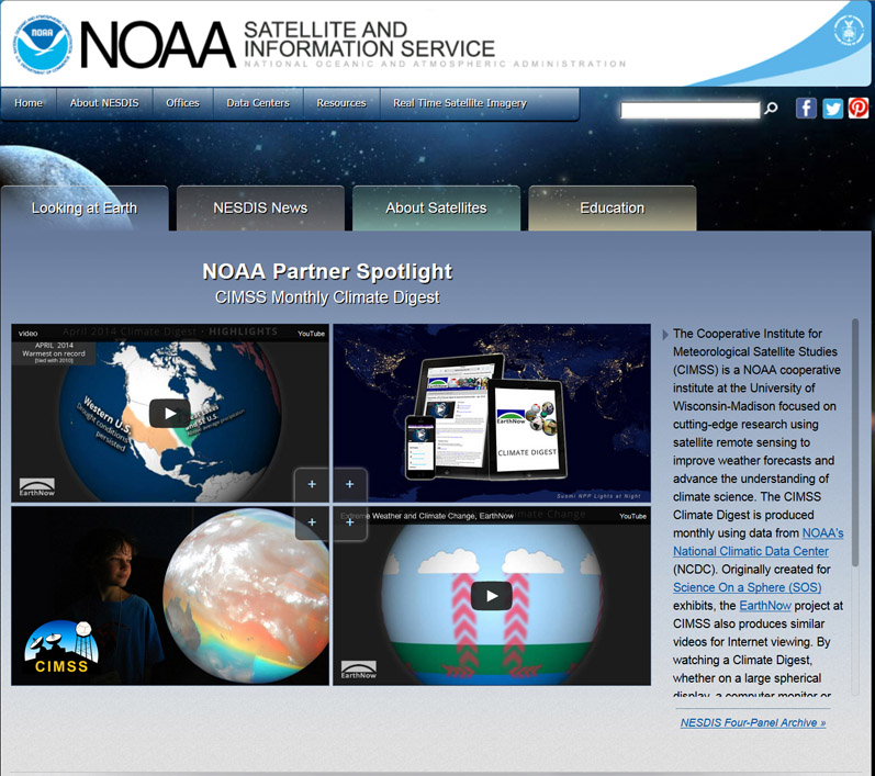
NESDIS Web Page Features CIMSS Climate Digest Product: NOAA's National Environmental Satellite, Data, and Information Service (NESDIS) is featuring the Cooperative Institute for Meteorological Satellite Studies (CIMSS) in their current four-panel story. The NESDIS four-panel, prominently located on their web page (http://www.nesdis.noaa.gov/), is updated bi-weekly with satellite imagery and animations developed into a featured theme. The theme from CIMSS is the Climate Digest Product. The CIMSS Climate Digest is produced monthly using data from NOAA's National Climatic Data Center's (NCDC) global analysis. By watching a Climate Digest, whether on a large spherical display, a computer monitor or mobile device, viewers get a comprehensive global climate brief in less than four minutes. (M. Mooney, CIMSS, 608-265-2123)
 (Click image to enlarge)
ITEMS FOR THE ADMINISTRATOR:
ITEMS FOR THE ASSISTANT ADMINISTRATOR:
ITEMS FOR THE OFFICE DIRECTOR, STAR:
Poster Presented at DOE SunShot Summit: Personnel at Cooperative Institute for Meteorological Satellite Studies (CIMSS) are part of a NOAA team providing data support to two teams in the Department of Energy-sponsored (DOE) Solar Forecasting Improvement Project. A poster, "NOAA’s Contribution to Improving Accuracy of Solar Forecasting", highlighting the forecasting modeling, advanced satellite products and validation data systems was presented at DOE's SunShot Summit, a meeting of all of DOE's solar energy research awardees, May 19-22, 2014. (C. Molling, CIMSS, 608-265-5350; A. Heidinger, E/RA2, 608-263-6757, andrew.heidinger@noaa.gov)
NOAA Satellite Proving Ground and User Readiness Meeting: June 2-6, 2014, scientists from the Cooperative Institute for Meteorological Satellite Studies (CIMSS) and Advanced Satellite Products Branch (ASPB) participated in the NOAA Satellite Proving Ground and User Readiness meeting in Kansas City, Missouri. Jordan Gerth gave two presentations; one on his interactions with the National Weather Service (NWS) in Pacific Region, and another on Geostationary Operational Environmental Satellite (GOES) R-Series Advanced Baseline Imager (ABI) exploratory scan modes, the latter with contributions from other CIMSS and ASPB scientists. Other in-person attendees included Wayne Feltz, Chad Gravelle, Scott Lindstrom, and Amanda Terborg from CIMSS. Remote attendees included Timothy Schmit and Andrew Heidinger from ASPB and Scott Bachmeier from CIMSS. The objective of the meeting was to review, discuss, and highlight past, current, and future satellite proving ground activities. (J. Gerth, CIMSS, 608-263-4942)
ITEMS FOR THE DIVISION CHIEF, CoRP:
GOES-R Brownbag Seminar on the GOES-R series ABI: T. Schmit (remotely) gave a Geostationary Operational Environmental Satellite (GOES)-R Brown Bag series presentation on May 28, 2014. The title was "The Key Product Parameter: Imagery from the Advanced Baseline Imager (ABI) on GOES-R". The ABI’s attributes covered were spectral, spatial and temporal (including the GOES-14 Super Rapid Scan Operations for GOES-R (SRSOR) information from 2012, 2013 and 2014). Baseline and exploratory scan modes were also covered. The abstract, presentation and audio recording have been posted at http://www.goes-r.gov/users/conf-mtgs/series.html. (T. Schmit, E/RA2, 608-263-0291, tim.j.schmit@noaa.gov)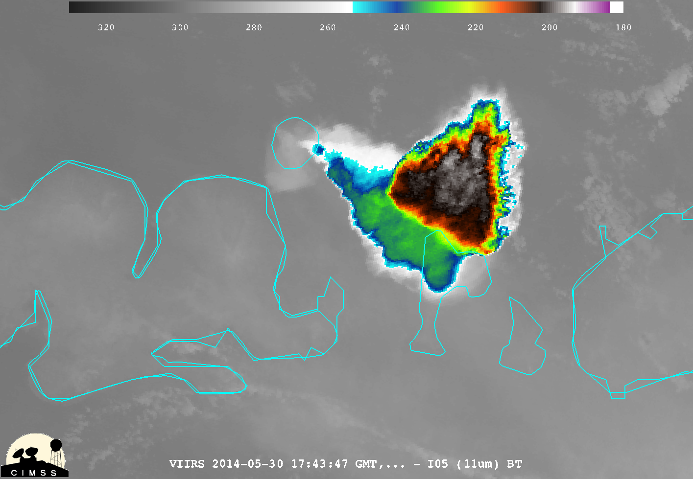 (Click image to enlarge)
VISITORS:
NEXT WEEK:
LOOKING AHEAD:
| Archived Weeklies Page | Submit a report item |