[ Archive ]
| CIMSS-NOAA Weekly Report
[ Archive ] |
IN THE PRESS:
CIMSS Video of NWS Interview Tops 9 Thousand Views on Facebook: The Cooperative Institute for Meteorological Satellites (CIMSS) posted a video on the CIMSS Facebook page on March 31 of an interview and tour at the Milwaukee-Sullivan National Weather Service Forecast Office which has 9,722 views thus far. The main topics covered include Weather Ready Nation and forecast and warning responsibilities. CIMSS conducted the interview for a Massive Open On-line Course (MOOC) on the Changing Weather and Climate in the Great Lakes Region (https://www.coursera.org/course/greatlakesclimate) which has over 6,500 registered participants. Combined, this represents an extensive reach promoting NOAA National Weather Service. (M. Mooney, CIMSS, 608-265-2123, S. Ackerman, CIMSS, 608-263-3647) 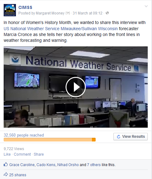 (Click image to enlarge)
Figure caption: Screen shot of CIMSS video & statistics
ITEMS FOR THE ADMINISTRATOR:
ITEMS FOR THE ASSISTANT ADMINISTRATOR:
ITEMS FOR THE OFFICE DIRECTOR, STAR:
Transboundary Ozone Pollution Conference: Brad Pierce attended the Transboundary Ozone Pollution Conference, which was sponsored by the San Joaquin Valley Air Pollution Control District and the NASA Air Quality Applied Science Team and focused on characterizing transboundary anthropogenic ozone (TAO) and its effect on the western US. He co-led a session focusing on "Current and prospective capacity to measure transboundary ozone fluxes via satellite retrievals, in situ measurements, and surface-based remote sensing and presented an featured talk entitled "Trans-boundary Ozone Pollution: A Global Chemical and Aerosol Data Assimilation Perspective". (R.B. Pierce, E/RA2, 608-890-1892, brad.pierce@noaa.gov)
Super Typhoon Maysak in the West Pacific Ocean: Satellite images of Super Typhoon Maysak during the period of March 30-31, 2015 were posted on the Cooperative Institute for Meteorological Satellite Studies (CIMSS) Satellite Blog (http://cimss.ssec.wisc.edu/goes/blog/archives/18042). By reaching Category 5 intensity on March 31, Maysak became one of the strongest tropical cyclones on record in the West Pacific basin during the month of March. (S. Bachmeier, CIMSS, 608-263-3958, S. Lindstrom, CIMSS, 608-263-4425, W. Straka, SSEC) 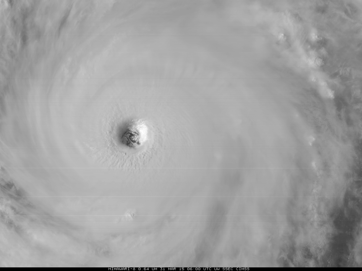 (Click image to enlarge)
Figure caption: Himawari-8 Advanced Himawari Imager (AHI) visible image showing the eye of Super Typhoon Maysak on March 31, 2015.
ITEMS FOR THE DIVISION CHIEF, CoRP:
VISITORS:
NEXT WEEK:
LOOKING AHEAD:
| Archived Weeklies Page | Submit a report item |