[ Archive ]
| CIMSS-NOAA Weekly Report
[ Archive ] |
IN THE PRESS:
ITEMS FOR THE ADMINISTRATOR:
ITEMS FOR THE ASSISTANT ADMINISTRATOR:
ITEMS FOR THE OFFICE DIRECTOR, STAR:
AVHRR Winds Go Operational at the NASA GMAO: The Advanced Very High Resolution Radiometer (AVHRR) polar wind product that is generated in near real-time at NESDIS is now being assimilated (as of February 2015) in the Goddard Earth Observing System Model, Version 5 (GEOS-5) numerical weather prediction system at the NASA Global Modeling and Assimilation Office (GMAO). The AVHRR winds have been produced by NESDIS since 2008 and are used by several Numerical Weather Prediction (NWP) centers, including the US Navy, the UK Met Office, and the European Centre for Medium-Range Weather Forecasts (ECMWF). (D. Santek, CIMSS, 608-263-7410; J. Key, E/RA2, 608-263-2605, jkey@ssec.wisc.edu) 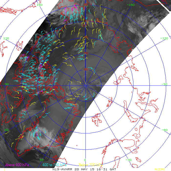 (Click image to enlarge)
Figure caption: An example plot of AVHRR winds over the Arctic.
Transition of New Model into National Hurricane Center Operations: A new model constructed by Jim Kossin (National Centers for Environmental Information - Center for Weather and Climate) has been selected for operational implementation at NOAA’s National Hurricane Center (NHC). The model was developed and tested over the past three years as part of the NOAA Joint Hurricane Testbed (JHT) project, and will provide NHC forecasters with enhanced intensity forecast guidance during hurricane eyewall replacement cycles. This latest model will serve as a complement to a model developed by Kossin under a previous JHT project period, which was selected for operational implementation at NHC three years ago. The earlier model provides probability forecasts that a hurricane eyewall cycle will begin. Together, the two models are expected to increase hurricane intensity forecast skill. (Jim Kossin, NCEI/CWC, 608-265-5356)
GOES-14 1-minute Imagery : Completed the first week of 2015 Geostationary Operational Environmental Satellite (GOES)-14 Super Rapid Scan Operations for GOES-R (SRSOR) imagery data collection campaign, which captured convection over many parts of the southern U.S. These data are being used to better prepare for the mesoscale mode on the Advanced Baseline Imager (ABI) and were used by several locations, including the Storm Prediction Center (SPC) in their mesoscale discussions. More information on the daily schedules and image center points: http://cimss.ssec.wisc.edu/goes/srsor2015/GOES-14_SRSOR.html and sample imagery, including two-days of 1-minute data monitoring the severe convection over Texas and Oklahoma: http://cimss.ssec.wisc.edu/goes/blog/archives/category/goes-14. (T. Schmit, E/RA2, 608-263-0291, tim.j.schmit@noaa.gov; S. Bachmeier, CIMSS, 608-263-3958; S. Lindstrom, CIMSS)
ITEMS FOR THE DIVISION CHIEF, CoRP:
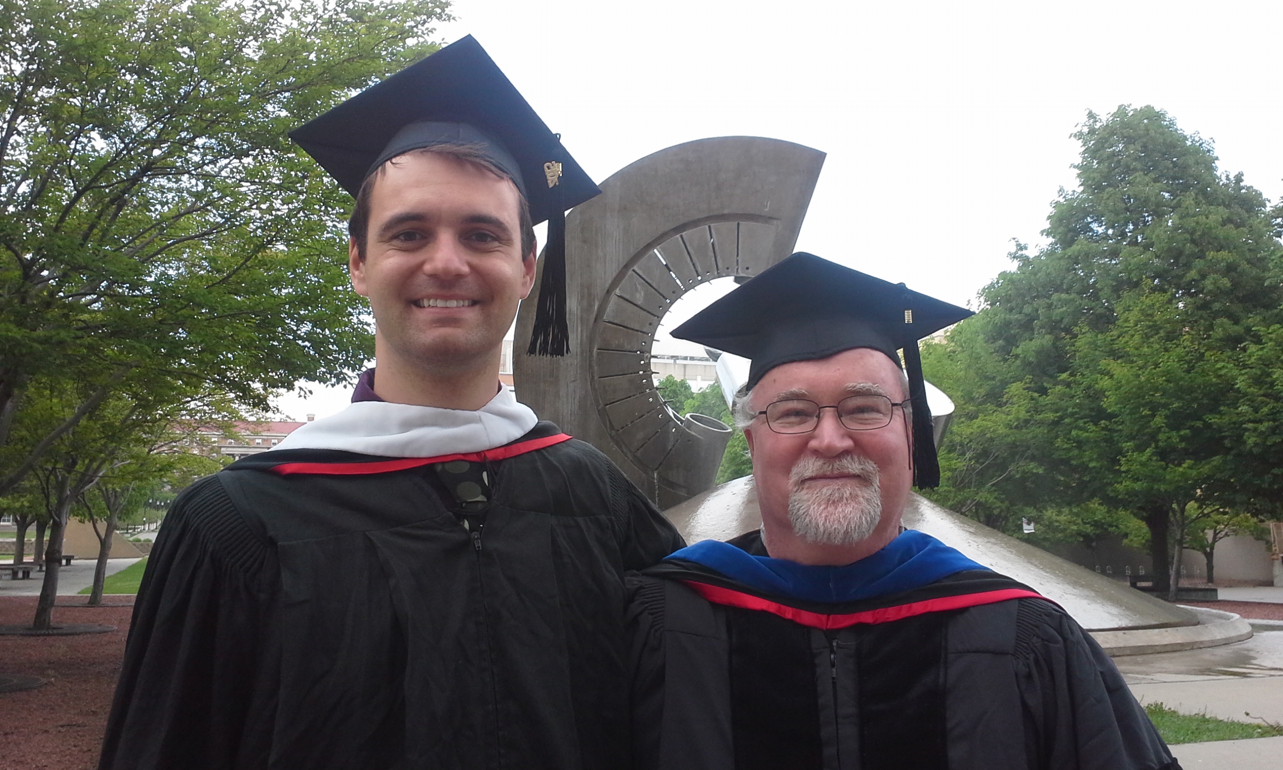
University of Wisconsin-Madison Department of Atmospheric and Oceanic Sciences Graduates: Two University of Wisconsin-Madison (UW-Madison) Department of Atmospheric and Oceanic Sciences (AOS) graduate students mentored by Advanced Satellite Product Branch (ASPB) scientists received their Master of Science (MS) degrees at the second annual UW-Madison AOS Graduation Ceremony on Saturday, May 16, 2015. Andrew Wentland’s MS thesis is titled “Evaluating the WRF-Chem Model using DISCOVER-AQ and FRAPPE 2014 Field Observations” (Brad Pierce, research advisor); Aaron Letterly's MS thesis is titled “The Influence of Winter Cloud on Summer Sea Ice in the Arctic, 1982-2013” (Jeff Key, research advisor). (R.B. Pierce, E/RA2, 608-890-1892, brad.pierce@noaa.gov; J. Key, E/RA2, 608-263-2605, jkey@ssec.wisc.edu)
 (Click image to enlarge)
VISITORS:
NEXT WEEK:
LOOKING AHEAD:
| Archived Weeklies Page | Submit a report item |