[ Archive ]
| CIMSS-NOAA Weekly Report
[ Archive ] |
IN THE PRESS:
ITEMS FOR THE ADMINISTRATOR:
ITEMS FOR THE ASSISTANT ADMINISTRATOR:
ITEMS FOR THE OFFICE DIRECTOR, STAR:
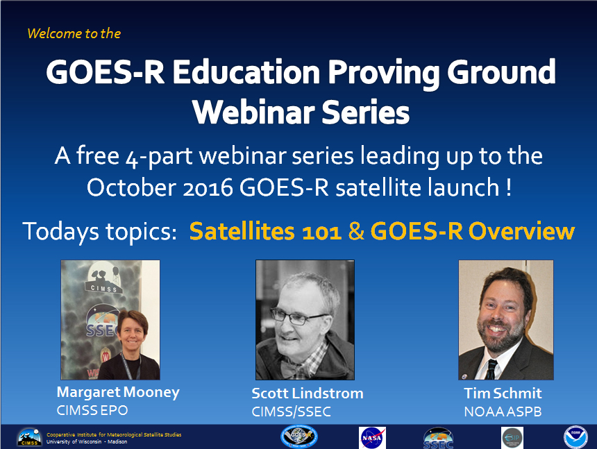
GOES-R Webinar Series for Science Teachers : The GOES-R Education Proving Ground from the Cooperative Institute for Meteorological Satellite Studies (CIMSS) has organized a free 4-part webinar series leading up to the October 2016 launch of the Geostationary Operational Environmental Satellite (GOES)-R spacecraft. The first webinar takes place on Saturday, February 20th at 10:30 am CST. Log-in details are available at http://cimss.ssec.wisc.edu/education/goesr/. Attendees will hear an introduction to satellite meteorology by Scott Lindstrom from CIMSS and a GOES-R overview by NOAA’s Tim Schmit. Content will be geared toward middle and high school science teachers but the series is open to all. (M. Mooney, CIMSS, (608) 213-5399, T. Schmit, NOAA ASPB, (608) 263-0291, S. Lindstrom, CIMSS/SSEC, (608) 263-4425)
 (Click image to enlarge)
International Workshop on Satellite Analysis of Tropical Cyclones: The Second International Workshop on Satellite Analysis of Tropical Cyclones (IWSATC-2) sponsored by the World Meteorological Organization (WMO) was held in Honolulu, Hawaii. Delegates from over a dozen countries were invited to exchange their latest methodologies for analyzing tropical cyclones from a variety of satellite sensors. Several well-received presentations were given by scientists from the Cooperative Institute for Meteorological Satellite Studies (CIMSS). (C. Velden, CIMSS, 608-262-9168; T. Olander, CIMSS, 608-265-8005; T. Wimmers, CIMSS; D. Herndon, CIMSS)
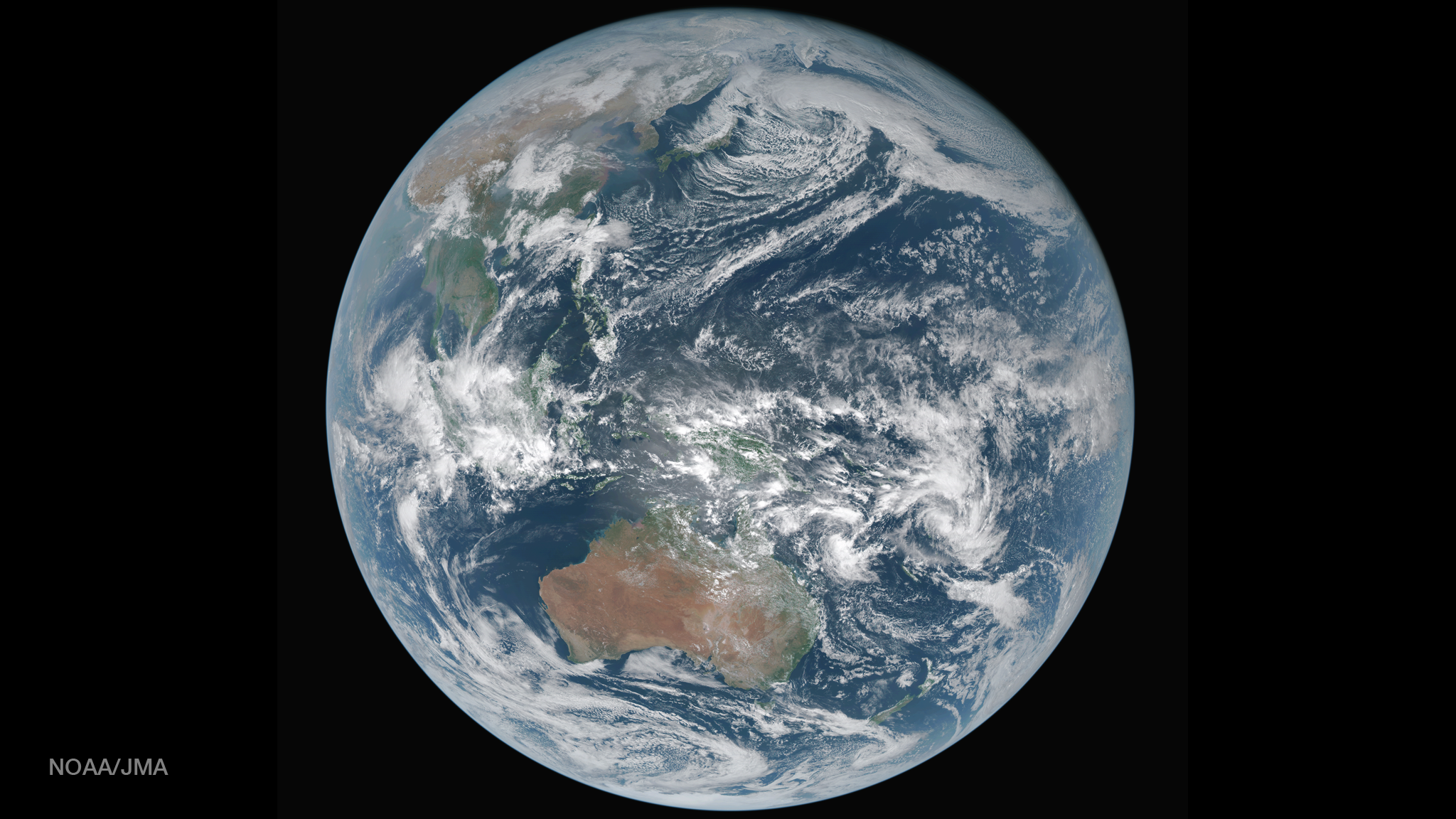
Routine True Color Imagery from Japan's AHI : An improved version of the Simple Hybrid Contrast Stretch (SHCS) algorithm for generating true color imagery from Advanced Himawari Imager (AHI) data has been developed and delivered to the NOAA Environmental Visualization Laboratory. They are now routinely posting these images to the web. The 10-mintue full disk imagery can be found at http://www.nnvl.noaa.gov/MediaDetail2.php?MediaID=1841&MediaTypeID=1. (T. Schmit, E/RA2, 608-263-0291, tim.j.schmit@noaa.gov; Y. Sumida, JMA)
 (Click image to enlarge)
Figure caption: True Color Imagery from the Himawari-8 Satellite, produced by the NOAA Viz Lab.
ITEMS FOR THE DIVISION CHIEF, CoRP:
GOES-14 Imager 1-min Data: More spectacular Geostationary Operational Environmental Satellite (GOES)-14 Super Rapid Scan Operations for GOES-R (SRSOR) 1-minute imagery data were captured at the Space Science and Engineering Center (SSEC)/Cooperative Institute for Meteorological Satellite Studies (CIMSS). This included cases of severe weather and large fires. These 1-minute data are being used to better prepare for the mesoscale mode on the Advanced Baseline Imager (ABI). More information on the daily schedules and image center points is available at http://cimss.ssec.wisc.edu/goes/srsor2016/GOES-14_SRSOR.html. Animations, including CIMSS Satellite Blog entries, are available at http://cimss.ssec.wisc.edu/goes/blog/archives/category/goes-14. (T. Schmit, E/RA2, 608-263-0291, tim.j.schmit@noaa.gov; S. Bachmeier, CIMSS, 608-263-3958; Jim Nelson, CIMSS, S. Lindstrom, CIMSS)VISITORS:
NEXT WEEK:
LOOKING AHEAD:
| Archived Weeklies Page | Submit a report item |