[ Archive ]
| CIMSS-NOAA Weekly Report
[ Archive ] |
IN THE PRESS:
Sensing Our Planet Interview: Brad Pierce was interviewed by a journalist from the Sensing Our Planet (http://earthdata.nasa.gov/featured-stories/sensing-our-planet), a NASA publication that showcases stories about science research using remote sensing. The interview provided background for a Sensing Our Planet story highlighting the research article by Sadie et al., entitled “Central American Biomass burning smoke can increase tornado severity in the U.S.” published in Geophysical Research Letters. (R.B. Pierce, E/RA2, 608-890-1892, brad.pierce@ssec.wisc.edu)
ITEMS FOR THE ADMINISTRATOR:
ITEMS FOR THE ASSISTANT ADMINISTRATOR:
ITEMS FOR THE OFFICE DIRECTOR, STAR:
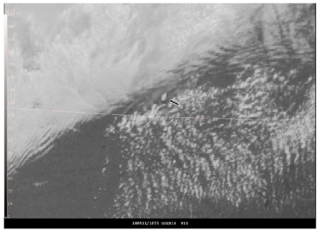
Paper Published on 1-minute Geostationary Satellite Data Use by SPC: A paper has been published in the American Meteorological Society (AMS) Weather and Forecasting journal, entitled "Use of Geostationary Super Rapid Scan Satellite Imagery by the Storm Prediction Center [SPC]". The authors are: W. Line, T. Schmit, D. Lindsey and S. Goodman. NOAA/National Weather Service/SPC forecasters utilized the Geostationary Operational Environmental Satellite (GOES)-14 1-minute imagery extensively in operations when available over convectively active regions. They found it provided them with unique insight into relevant features and processes before, during, and after convective initiation. This paper introduces how the 1-minute datasets from GOES-14 were used by SPC forecasters and how these data are likely to be applied when available operationally from GOES-R. The paper is athttp://journals.ametsoc.org/doi/abs/10.1175/WAF-D-15-0135.1. Information about the data is at http://cimss.ssec.wisc.edu/goes/srsor2014/GOES-14_SRSOR.html. (T. Schmit, E/RA2, 608-263-0291, tim.j.schmit@noaa.gov; D. Lindsey, RAMMB)
 (Click image to enlarge)
Figure caption: The 18:55 UTC May 11, 2014 GOES-14 visible-channel image from GOES-14. The arrow points an orphan anvil near the Nebraska–Kansas border. Note the towering Cu just southwest of the orphan anvil where convection would initiate shortly thereafter. An animation of this case was provided as supplemental material.
ITEMS FOR THE DIVISION CHIEF, CoRP:
GOES-R Satellite Liaison Training with SIFT: A GOES-R training workshop was held March 1-3, 2016 in Kansas City at NOAA's Aviation Weather Center (AWC). The workshop was held for the Geostationary Operational Environmental Satellite (GOES)-R liaisons and others and used the Satellite Information Familiarization Tool (SIFT) which was developed at the University of Wisconsin-Madison Space Science and Engineering Center (SSEC). The workshop consisted of both lecture and hands-on exercises. The comments from the participants were overall very positive (really liked, beneficial, great hands-on, excellent course, educational, really valuable, etc.). (T. Schmit, E/RA2, 608-263-0291, tim.j.schmit@noaa.gov; J. Gerth, CIMSS; S. Lindstrom, CIMSS)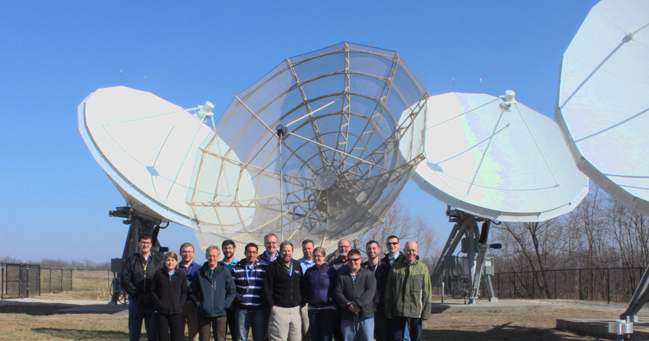 (Click image to enlarge)
VISITORS:
NEXT WEEK:
LOOKING AHEAD:
| Archived Weeklies Page | Submit a report item |