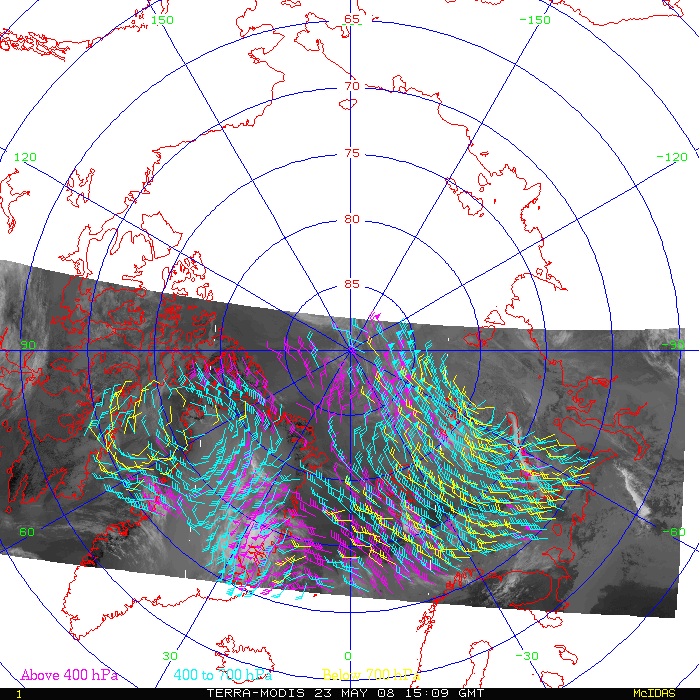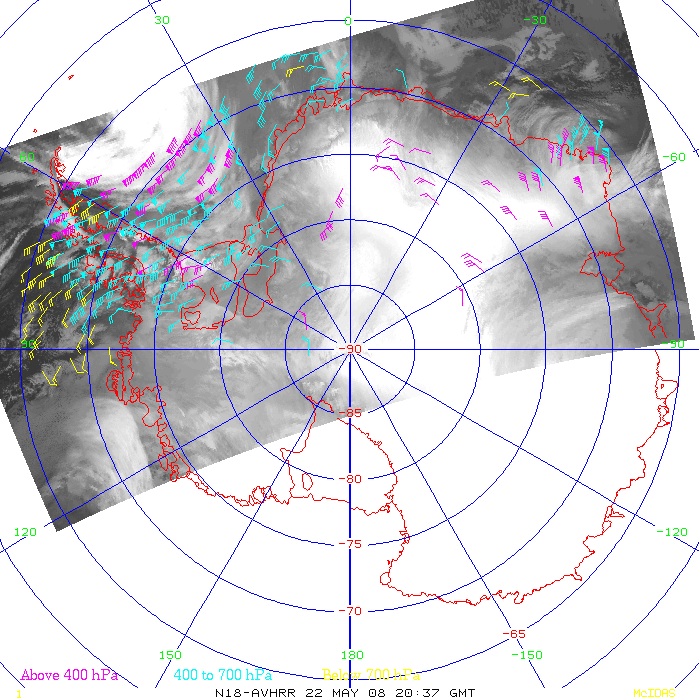

The following loop shows all polar winds from AVHRR and MODIS over the Arctic for one day:
Here are AVHRR winds over the Arctic for one day:
The following loop shows MODIS orbits over the Arctic for one day. The water vapor band is shown.
The following loops show infrared window and water vapor images with wind vectors derived from the image sequences. The loops consist of three pairs of 5-minute MODIS granules from consecutive orbits approximately 100 minutes apart, giving a total elapsed time of about 3.3 hours. They are Java animations.
The following loops illustrate the potential of multiple polar-orbiting imagers for studies of atmospheric motion. Data from four satellites over a six hour period were combined: NOAAs 14, 15, and 16 and Terra (AVHRR and MODIS). The time between the overpasses ranges from 3-60 minutes. The first loop shows the orbital swaths over the Arctic. The second loop zooms in on an area near east Greenland and Iceland. (A geolocation problem is evident in a few of the images.) They are Java animations.
